The Soil
In general the soil of Roero is of the marl-sandstone type with a prevalence of sandstone, marine-origin sedimentary rocks, and a good content of limestone, clay and sand. This last element makes the soil loose and soft and gives it great permeability. Given their marine origin, the vineyard terrains are rather poor in organic matter, but rich in mineral salts.
More than just one soil however, we should talk about different soils. In fact, according to the time of emergence of the waters, there are soils of various characteristics: with sandy-gravelly continental sediments, sandy-marine sediments and clay-marine sediments. These profiles are sometimes found side by side, at times superimposed one above the other, forming the real and proper macroareas, deposited along the line that goes from north-west (the Rocche) to south-east (the areas nearest to the Tanaro).
In the north-western territories, along the line of the Rocche, at an altitude of about 350 metres above sea level and above, we find soils with little limestone and particularly rich in sand (about 80% of sand content), of lakeside-river origins, loose and very lightweight. About 5% of the viticulture of the Roero is carried out on this type of soil.
All along the “internal” strip of the Rocche, more to the east and at a lower altitude, you find instead sandy soil that has almost no limestone at a superficial level; they are older and of marine origin, rich in fossils. They are dominantly acidic soils, fundamentally loose and arid, because rainfalls filter through very rapidly, taking with them most of the nutrients and making them unfit for cultivation.
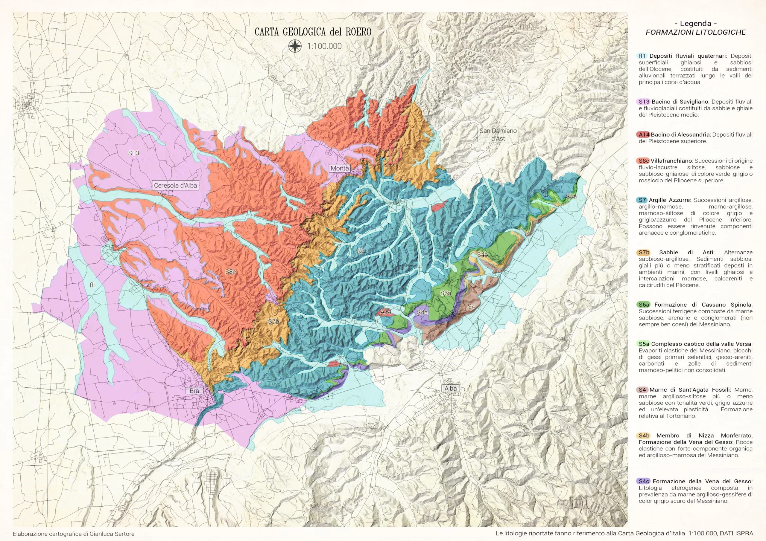
The central part of the Roero territory instead often sees the pliocenica matrix merge with a silty grey-blue plate with more limestone and clay, which is present in spots all around Roero.
Limestone percentages that go from 3% to 10% are found in the marl and chalky-sulphurous formations of the Priocca territories, Canale and Govone (a sort of transverse strip on the east-west line). The limestone component instead is almost 50% in the next strip that goes from Corneliano to Govone passing through Vezza. This massive percentage of limestone accentuates the viscosity and compactness of the clay terrains.
Finally, we find the strip nearest to the Tanaro, which has cold terrains, with a presence of clay mixed in chalk banks and with Marne di S. Agata Fossili (St. Agatha Marl Fossils), where there are more compact terrains, similar to those of Langa.
The Climate
Roero is considered a semi-arid zone. The Roero hills are actually almost totally devoid of water, because the soft marl layers that alternate with sandy ones offer only temporary water reserves. The viticulture landscape demonstrates this, scattered with cisterns to collect rainwater or wells to draw water from aquifers.
The total average rainfall ranges from 650 to 720 millimetres per year (the poorest area in rain in all of South Piedmont), with some annual amounts between 450 and 500 mm, half the national average. Most of the precipitation occurs from October to January, and it is fundamental for the replenishing of the underground reserve, necessary for vegetal development of the vines from May to June. Snowfalls in winter also represent an important water supply for the vineyards.
Note that the presence of the Maritime Alps (in particular of the Monviso) leads to very strong thermal ranges, with the risk of storms and hailstorms. In this type of context, use of the best exposures and exploitation of the steep sloping sides becomes fundamental, in order to guarantee a good insulation even during inclement weather.